Augmented Reality für GIS-Systeme im Stromnetz
Novel interaction concepts with geoinformation-relevant (GIS) data
To promote new applications and business models, the WindNODE partners Stromnetz Berlin and Fraunhofer FOKUS are organizing hackathons together with the Open Knowledge Foundation (“Energyhack”), in which programmers, creative people, and young start-ups use the data provided to develop exciting and innovative ideas (https://energyhack.de/).
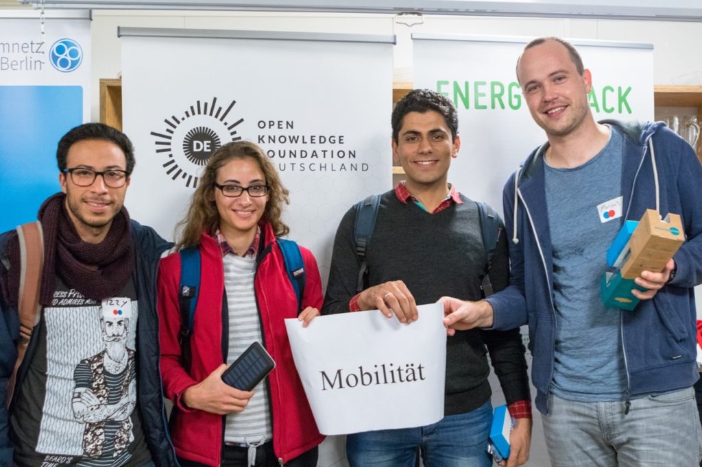
At WindNODE-Energyhack 2017, a group of master and doctoral students from the DAI Laboratory (Team “EVCount”) won a project in which geoinformation-relevant (GIS) data are collected and enriched with other existing information. This is made possible by automated image recognition on the map or Streetview data. These data were then used to model a total load of a low-voltage grid with increased shares of electromobility.
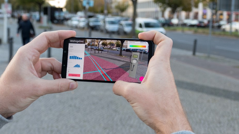
Subsequently, the original idea was further developed into a demonstrator in a workshop with WindNODE partner Stromnetz Berlin. The aim is to present already existing GIS and network information relevant (NIS) data with the help of Augmented Reality (AR) to support the field staff of Stromnetz Berlin in their daily work. In the sense of the hackathon, the added value is to be created by coupling different types of data sources.
For example, static net-focused GIS data can be combined with dynamic net data (NIS data) or with data from other sources. Dynamic grid data can be measured condition data in the low-voltage grid, but also findings from a grid simulation that estimate the condition. For example, simulations of the grid can be tested and visualized with regard to the capacity utilization during the expansion of the charging station infrastructure in Berlin.
The combination with findings from the study on e-mobility in the low-voltage distribution network between DAI-Labor and Stromnetz Berlin would also be conceivable, e.g. by taking into account the modeling of simultaneity of electric vehicle charging behavior for special charging infrastructure. Based on this target image, a demonstrator was developed to demonstrate the feasibility of linking GIS and dynamic data and to evaluate to what extent the superposition of this information by AR can support the work on site.